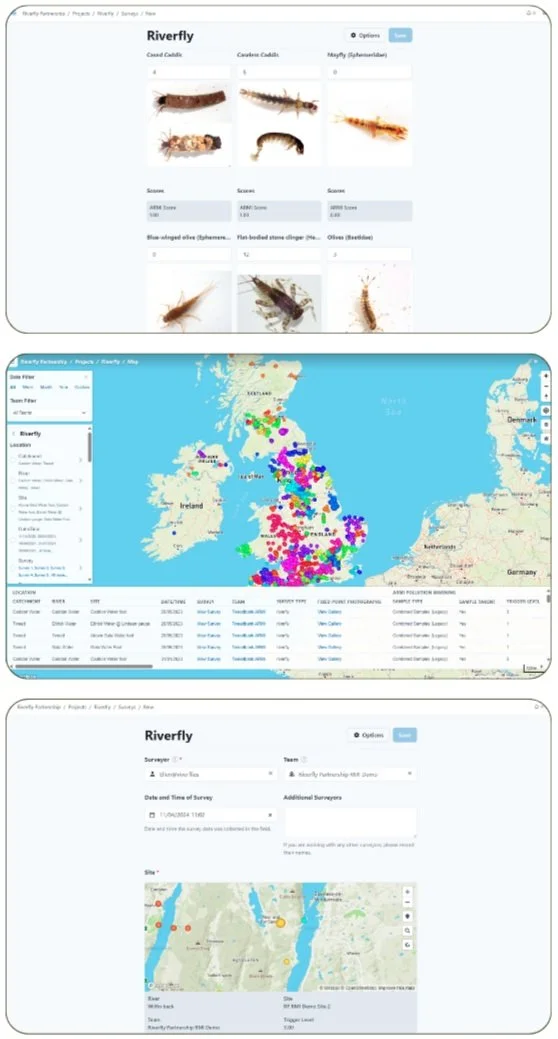
Recording and Viewing Riverfly Data
Our data is stored on a database called Cartographer.
The data can be viewed in more detail and downloaded using Cartographer. Anyone can register for an account to view and use the data. Our dashboard, which draws data from Cartographer and is linked above, is completely open access.
To submit records, you must be a certified Riverfly monitor.
To register for a Cartographer account, please fill in the form below.
This map shows the Riverfly surveys that our fantastic monitors have carried out and submitted to us within the last month, colour-coded by catchment. Click on the white box in the top left-hand corner to change the range of data shown.
See our monthly and yearly data reports here

